

Precision
Ocean Current
Forecasts
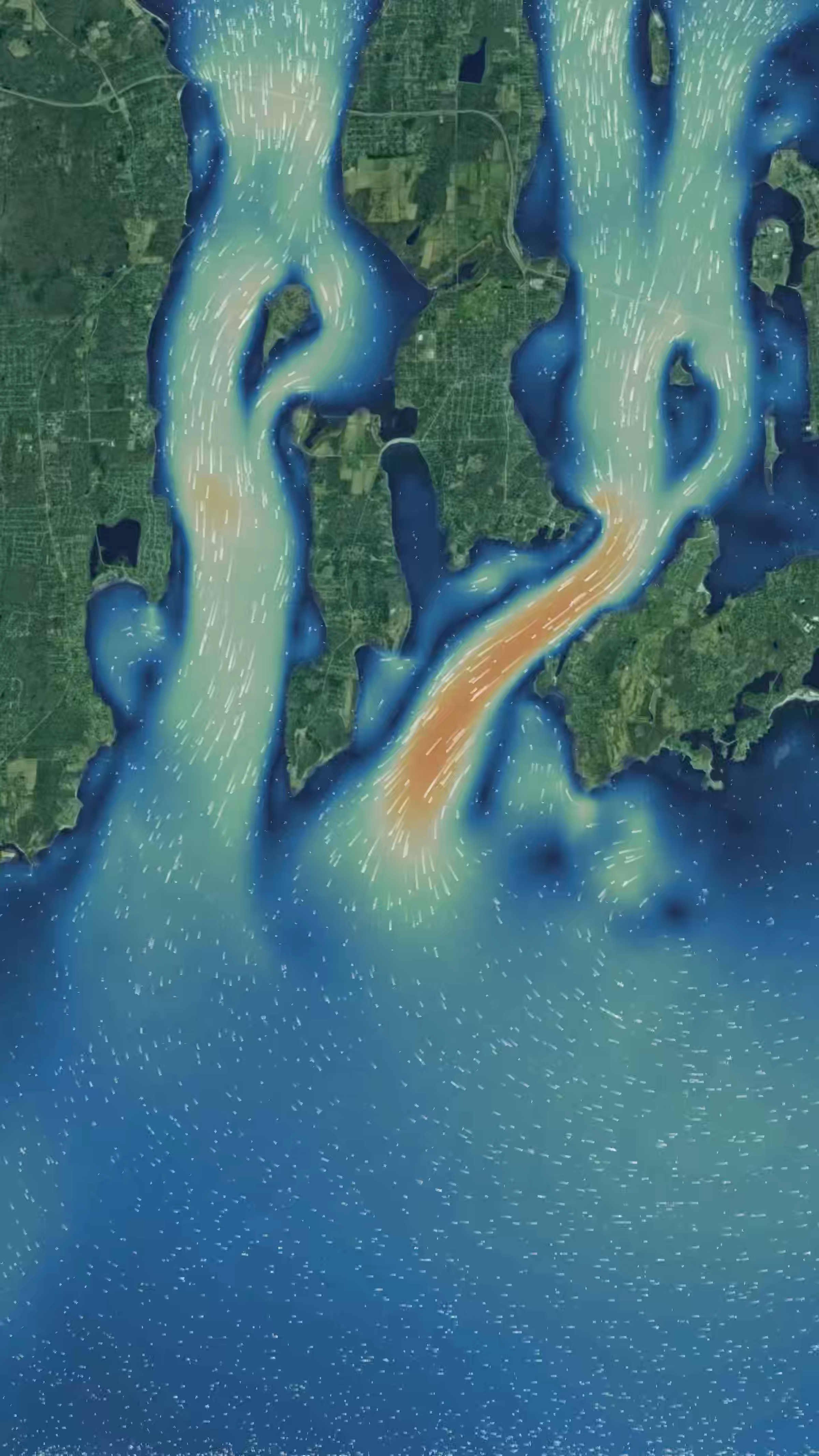
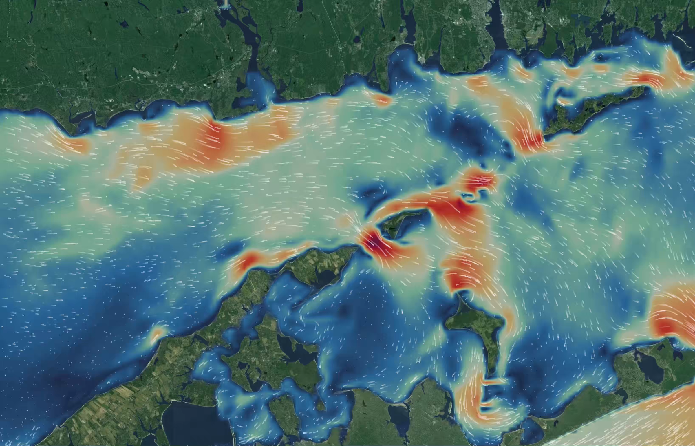
Up to 50x higher resolution than public models for mission critical applications from surface to seafloor.
Up to 50x higher resolution than public models
Global models resolve currents at about 9 km. The features that matter in ports and coastal chokepoints are often only a few hundred meters wide.
Powering advanced maritime operations.
Our high-resolution models provide the foundational intelligence to drive precision across your most demanding scenarios.

Drift
Improve search and rescue, respond to oil spills, or locate ocean “parking lots” for passive loitering.
- Search-and-rescue datum drift
- Oil-spill & pollutant trajectories

Routing
Drive live operational guidance to reduce fuel consumption, extend battery range, and navigate around hazards.
- Current-aware least-cost routing
- Harbour approach & pilotage windows

Simulation
Enable precise mission planning, optimize departure times, and validate design decisions in real or custom scenarios.
- Hull & mooring design validation
- Departure-window optimisation

Get started
Current Lab API
Ready to integrate these capabilities? If you have your own platform, use our API to pull in the models, forecasts, and tools you need—the way you need them.
- Gridded ocean and wind in GRIB2, NetCDF, or JSON formats
- Forecast and Hindcast on the same endpoint
- Server-side drift simulation
Sailing Hub
Professional-grade ocean forecasts trusted by top sailors.
High-resolution ocean current forecasts generated from advanced regional ocean models and delivered throughout your event. Optimized for Expedition and other GRIB-compatible navigation tools.
- $69
Rolex Middle Sea Race
Grand Harbour, Valletta, Malta · Mediterranean Sea
Oct 17 – Oct 19
$69
- $69
Rolex Middle Sea Race
Grand Harbour, Valletta, Malta · Mediterranean Sea
Oct 17 – Oct 19
$69
- $69
Rolex Middle Sea Race
Grand Harbour, Valletta, Malta · Mediterranean Sea
Oct 17 – Oct 19
$69
- $69
Rolex Middle Sea Race
Grand Harbour, Valletta, Malta · Mediterranean Sea
Oct 17 – Oct 19
$69
- $69
Rolex Middle Sea Race
Grand Harbour, Valletta, Malta · Mediterranean Sea
Oct 17 – Oct 19
$69
- $69
Rolex Middle Sea Race
Grand Harbour, Valletta, Malta · Mediterranean Sea
Oct 17 – Oct 19
$69
- $69
Rolex Middle Sea Race
Grand Harbour, Valletta, Malta · Mediterranean Sea
Oct 17 – Oct 19
$69
- $69
Rolex Middle Sea Race
Grand Harbour, Valletta, Malta · Mediterranean Sea
Oct 17 – Oct 19
$69
- $69
Rolex Middle Sea Race
Grand Harbour, Valletta, Malta · Mediterranean Sea
Oct 17 – Oct 19
$69
- $69
Rolex Middle Sea Race
Grand Harbour, Valletta, Malta · Mediterranean Sea
Oct 17 – Oct 19
$69
- $69
Rolex Middle Sea Race
Grand Harbour, Valletta, Malta · Mediterranean Sea
Oct 17 – Oct 19
$69
- $69
Rolex Middle Sea Race
Grand Harbour, Valletta, Malta · Mediterranean Sea
Oct 17 – Oct 19
$69
Reach out to get started
Tell us about your mission requirements and we’ll help simplify your toughest ocean data challenges.